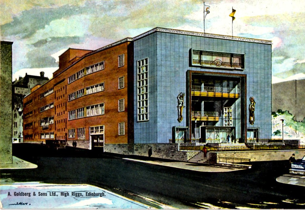
“The other thing that comes back to memory is the number of Jewish shops that we had in Edinburgh. We had three butchers, we don’t even have one now and we had four different grocer’s shops. We don’t have any now. And I do remember going with my mother as a small child and one of the assistants, Betty Franklin, used to sit me up on the biscuit box and the highlight was to get a Jacobs Club Biscuit. Of course, across the road from one of the butchers was a chip shop, a Jewish chip shop, and all the kids used to go to get chips for a penny.” Anita Mendelssohn
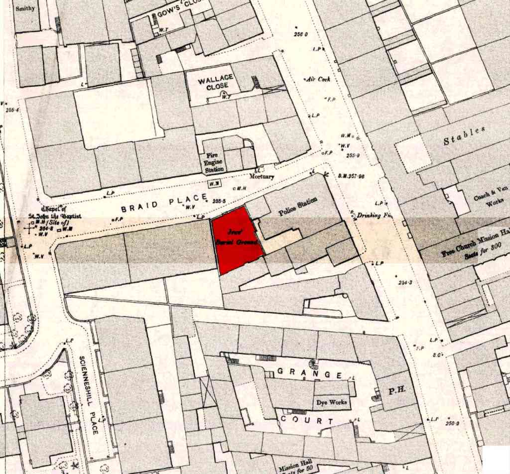
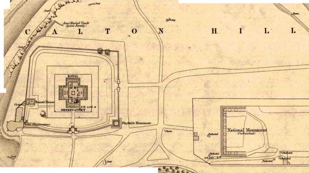
Over 230 years of Jewish life in Edinburgh is revealed through the topographical recording of the city. Homes and businesses are mapped, revealing changes both in economic status and in profession. Beginning with the earliest documented Jewish settlers living around Canongate, three distinct areas of activity then become apparent: Leith, Dalry and the streets around the University of Edinburgh – the synagogue being the axis for each community. After World War I, the population shift to Edinburgh’s southern suburbs is traced, highlighted by the construction of the new synagogue in Salisbury Road in 1932.Click here to download full street by street information (1894 – 1969) in a printable pdf format.

You must be logged in to post a comment.